APPLICATION
SPECTRUM
Harnessing the Potential of Drones
About
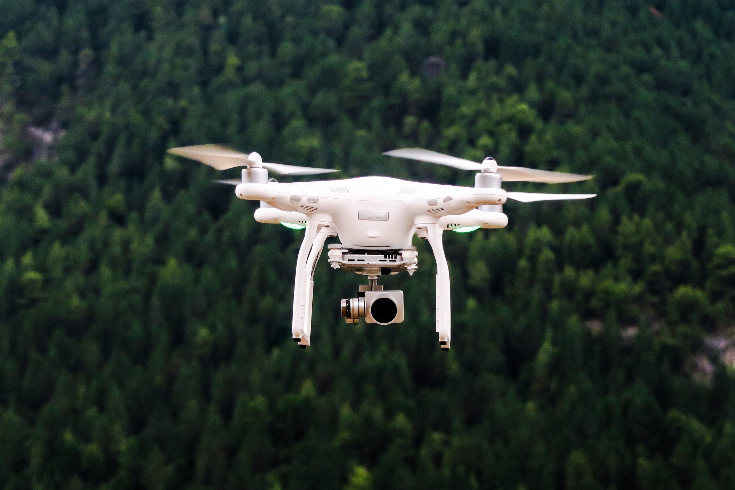
Drones are versatile tools utilized across industries for tasks like aerial filming, agricultural management, search and rescue, and environmental monitoring. They enhance efficiency and productivity in various applications, revolutionizing industries worldwide.
AERIAL CINEMATOGRAPHY
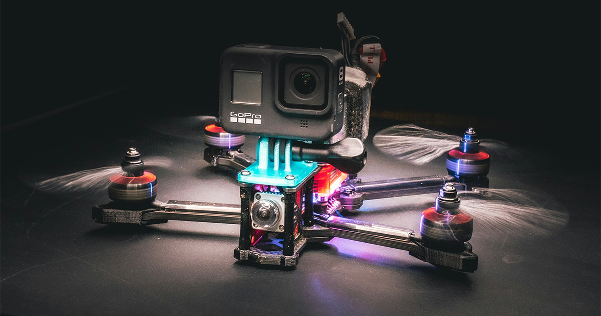
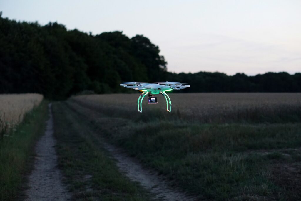
In aerial cinematography, drones, including FPV (First Person View) models, have revolutionized filmmaking by offering filmmakers unparalleled access and creative freedom. Equipped with high-resolution cameras and stabilizing technology, drones can capture smooth and cinematic footage from unique perspectives, performing intricate maneuvers like flyovers and tracking shots. Their real-time monitoring capabilities streamline the filmmaking process, allowing directors to adjust framing and composition on the fly. With drones, filmmakers can access challenging environments and achieve stunning visuals more cost-effectively than traditional methods. In essence, drones, including FPV models, have democratized aerial cinematography, enabling filmmakers to bring their creative visions to life with breathtaking footage.


AGRICULTURE
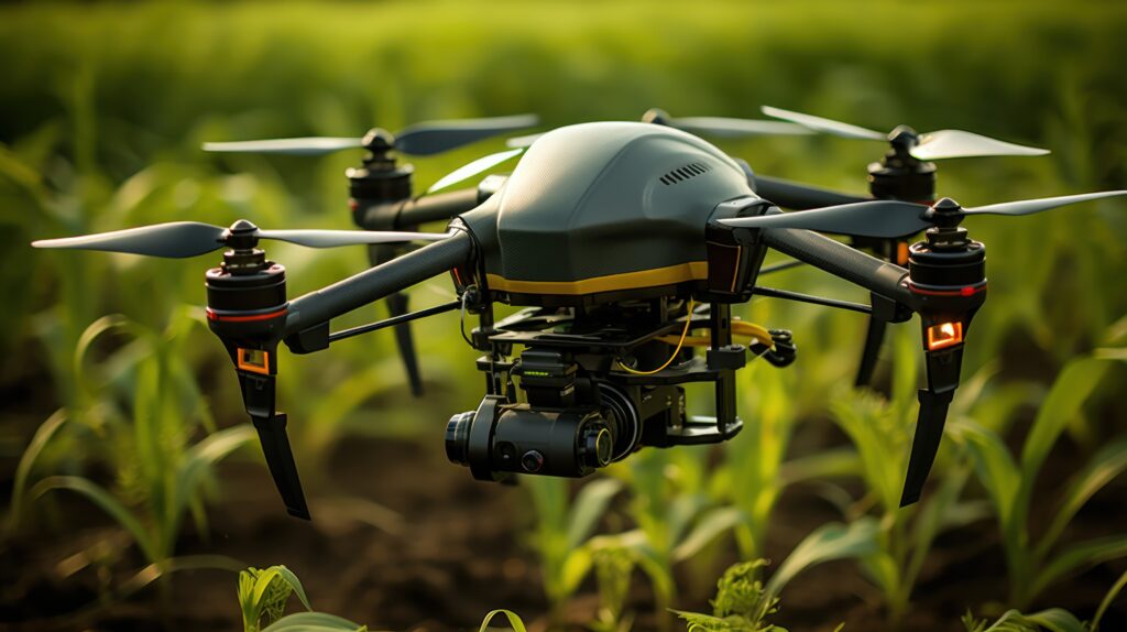
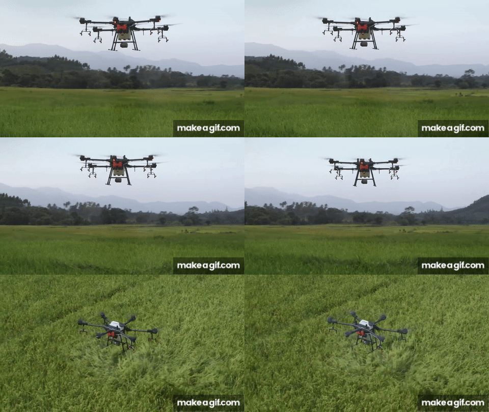
In the realm of agriculture, drones are ushering in a new era of precision farming, transforming the way crops are managed and monitored. Equipped with advanced sensors and imaging technology, drones offer farmers invaluable insights into crop health, soil conditions, and irrigation needs.
Efficient Crop Monitoring:
Drones provide farmers with real-time aerial views of their fields, allowing for efficient crop monitoring on a large scale. By capturing high-resolution imagery, drones can detect early signs of pest infestations, diseases, or nutrient deficiencies, enabling farmers to take timely corrective actions.
Precision Application of Inputs:
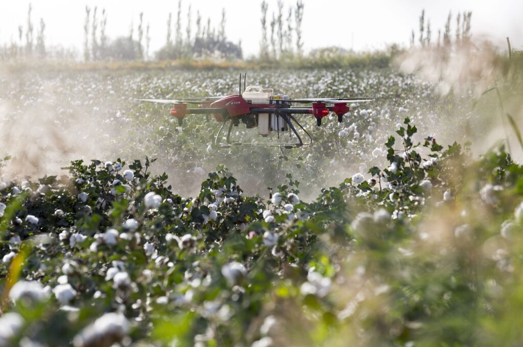
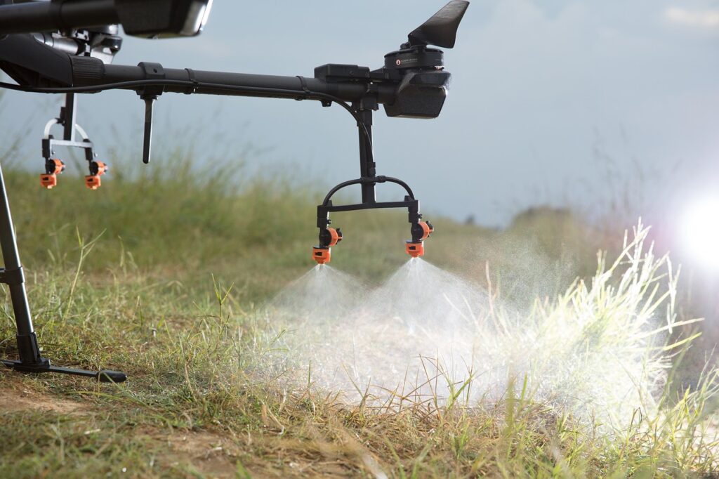
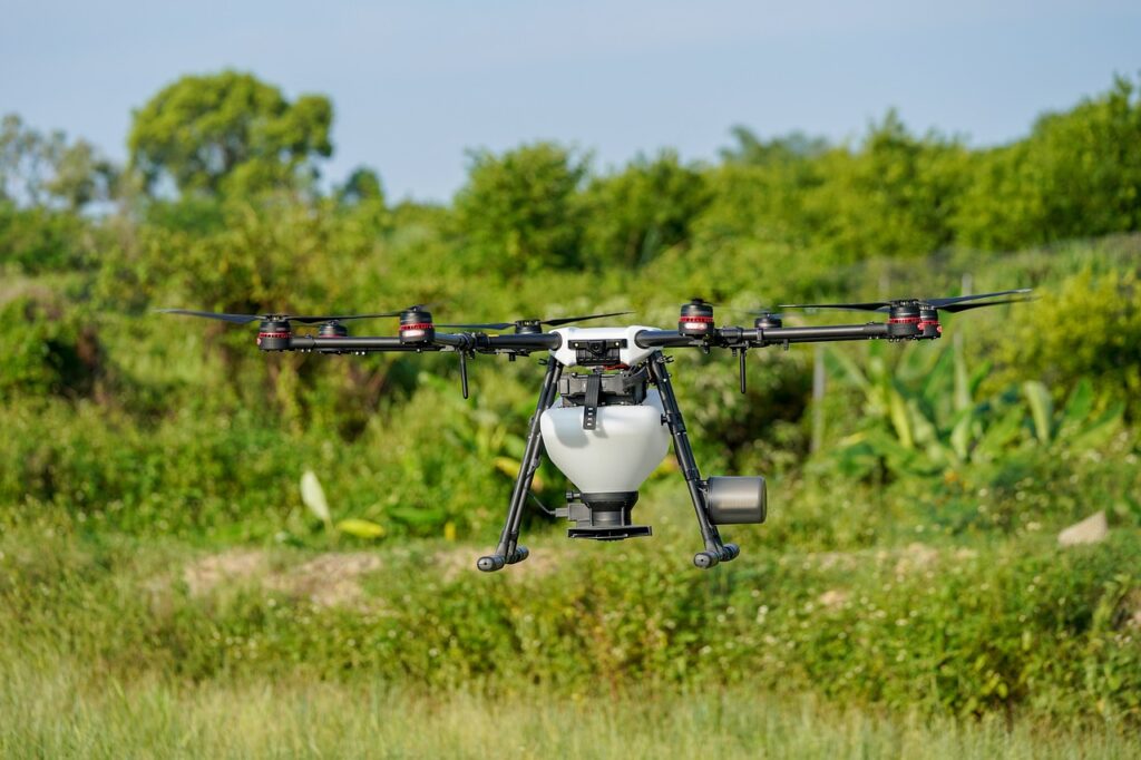
Drones enable precise application of fertilizers, pesticides, and herbicides, reducing waste and minimizing environmental impact. With the ability to target specific areas of the field based on crop health indicators, drones optimize input usage, leading to improved yields and cost savings for farmers.
Mapping and Analysis:
Drones generate detailed maps and spatial data of agricultural fields, facilitating analysis of soil variability and crop performance. This information helps farmers make data-driven decisions, such as adjusting planting densities or implementing variable rate application strategies, to maximize productivity.
Water Management:
Drones play a crucial role in water management by identifying areas of over- or under-irrigation through thermal imaging and moisture mapping. By optimizing irrigation practices, farmers conserve water resources and mitigate the risk of waterlogged or drought-stressed crops.
Environmental Monitoring:
Beyond crop management, drones are used to monitor environmental factors such as erosion, land degradation, and biodiversity. By collecting aerial data over large areas, drones assist in assessing the impact of agricultural practices on ecosystems and implementing sustainable land management strategies.



Surveillance and Inspection
Drones offer cost-effective, efficient, and safe solutions for aerial surveillance and inspection. With advanced cameras and sensors, they provide accurate data, enhance safety, and minimize environmental impact, making them indispensable tools across various industries.
Surveillance
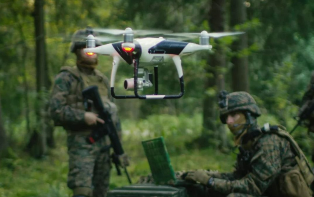
- Security Monitoring: Drones equipped with high-resolution cameras and thermal sensors conduct aerial surveillance of critical infrastructure, borders, and public events, enhancing security measures and response capabilities.
- Law Enforcement Support: Law enforcement agencies utilize drones for tasks such as tracking suspects, monitoring crime scenes, and conducting search operations, providing valuable aerial perspectives for real-time intelligence gathering.
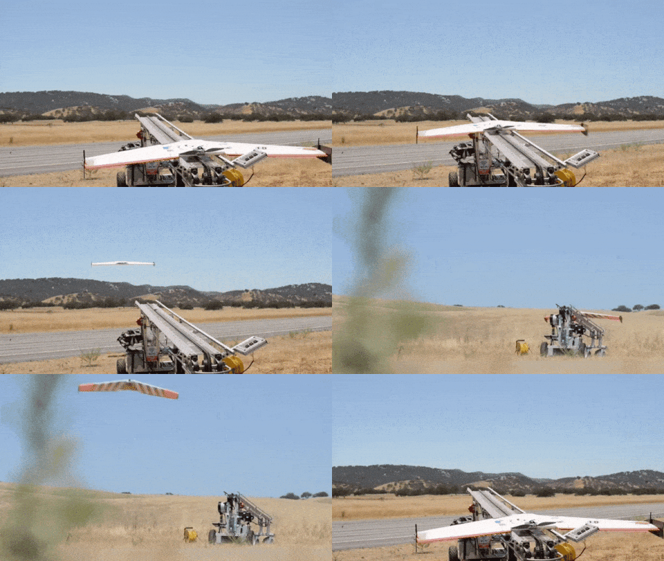
- Environmental Surveillance: Drones play a vital role in environmental monitoring by tracking wildlife, detecting pollution, and assessing ecosystem changes, aiding scientific research and conservation efforts.


Inspection
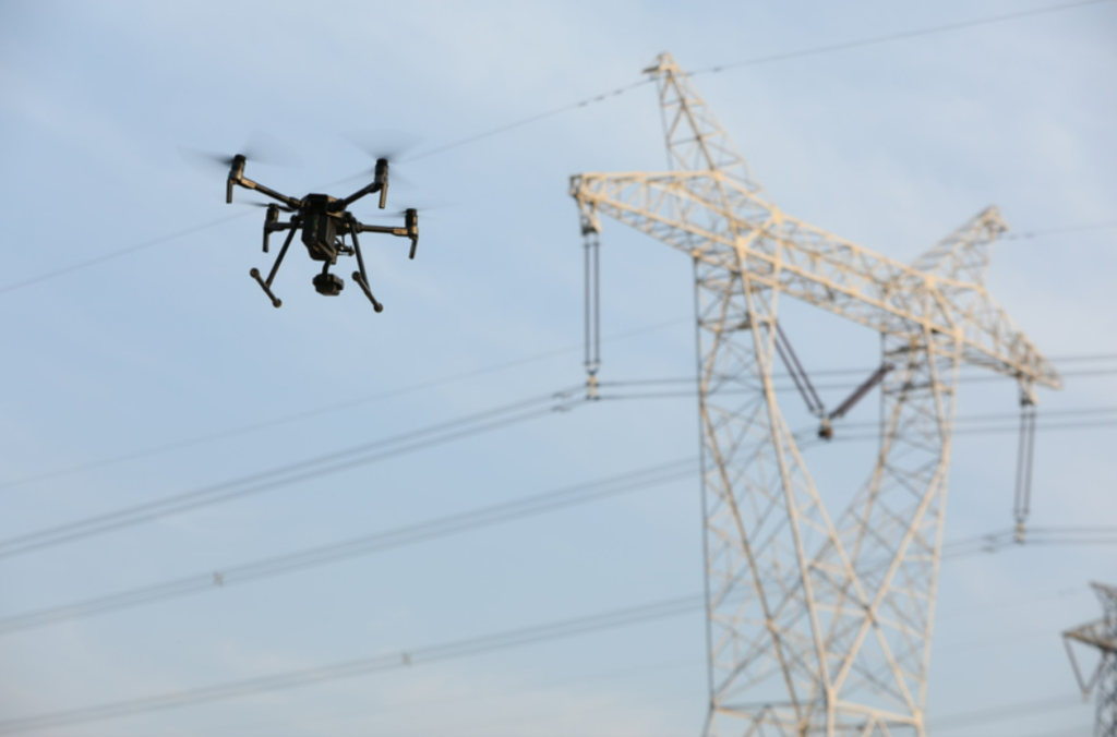
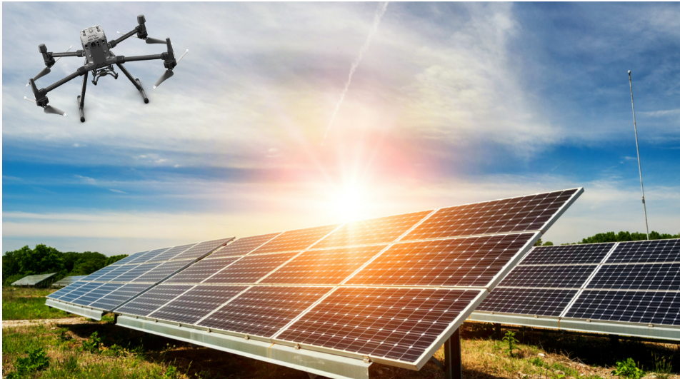
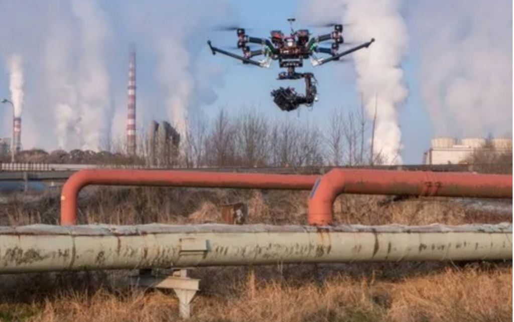
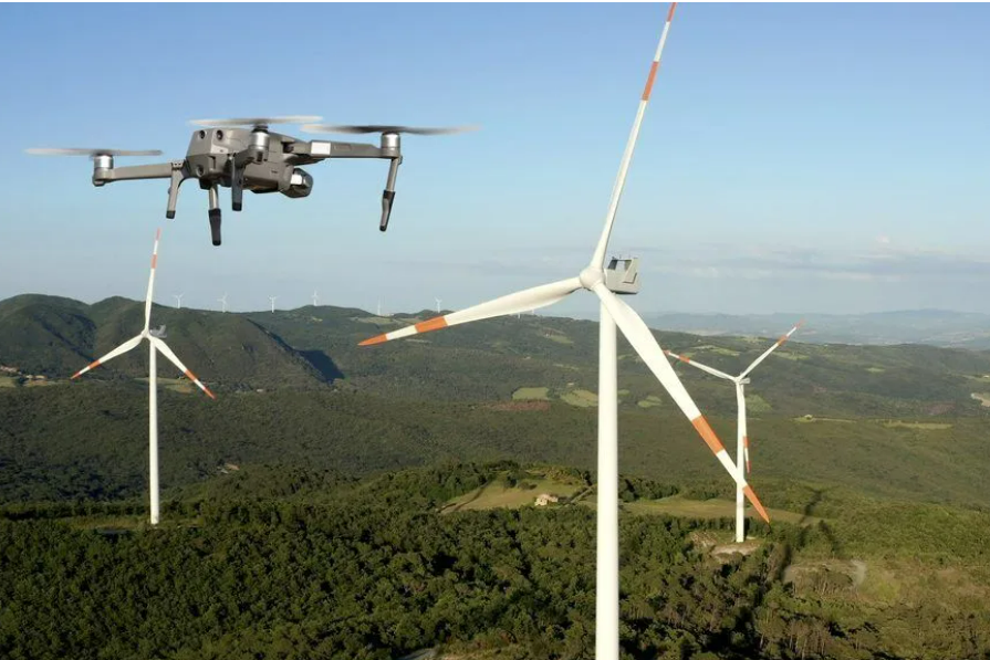
- Infrastructure Assessment: Drones equipped with specialized cameras and LiDAR sensors inspect bridges, dams, pipelines,solar panels and power lines, providing detailed visual data for engineers and inspectors to assess structural integrity and identify maintenance needs.
- Building and Property Inspection: In construction and real estate, drones capture high-resolution images for building inspections, identifying structural defects and facilitating property surveys, helping stakeholders make informed decisions about maintenance and renovation.
Surveying and Mapping
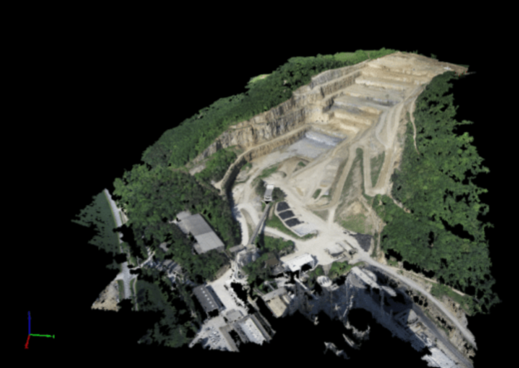
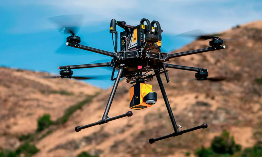
Drones are revolutionizing surveying and mapping with efficient and accurate data collection methods. Equipped with high-resolution cameras, LiDAR sensors, and GPS technology, drones capture detailed aerial images and elevation data. This information is utilized to create precise maps, orthomosaics, and 3D models of terrain, infrastructure, and landscapes. Drones offer cost-effective solutions, reduce surveying time, and improve the accuracy of mapping projects, benefiting various sectors including urban planning and disaster management.
Orthomosaic Maps:

3D Models:
LiDAR Data:
Additionally, drones can collect other mapping data to meet specific requirements:
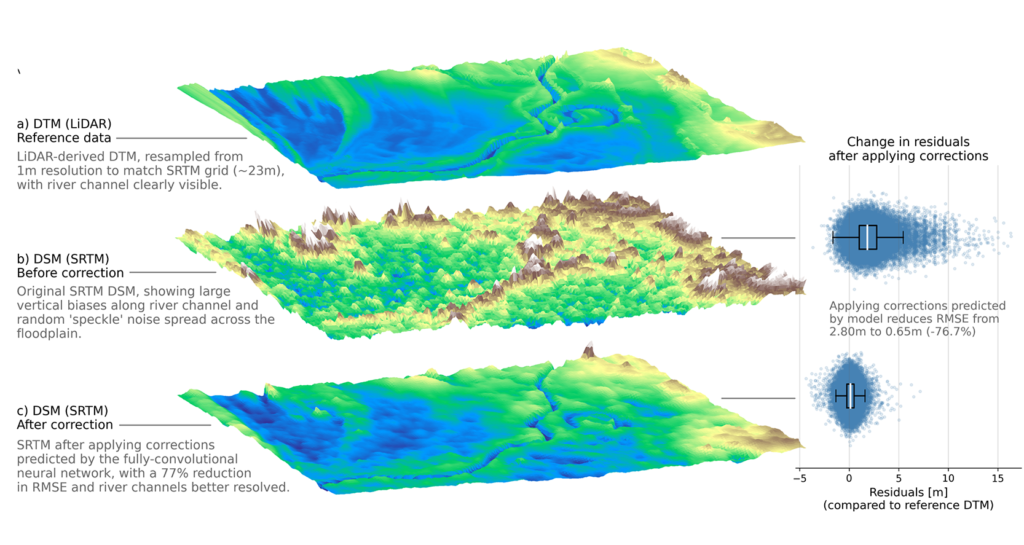
- DSM (Digital Surface Model):
- DSM represents the earth’s surface and includes all objects on it, such as buildings,vegetation, and other structures, along with the bare ground.
- It provides a comprehensive view of the surface, including both natural and man-made features.
- DSMs are commonly used in applications such as urban planning, 3D modeling, and flood risk assessment.
DTM (Digital Terrain Model):
- DTM represents the bare earth surface and excludes any objects or features above the ground, such as buildings, vegetation, and other structures.
- It focuses solely on the natural terrain, providing an accurate representation of the ground elevation.
- DTMs are often used in applications such as terrain analysis, slope calculation, and hydrological modeling.
- –
DEM (Digital Elevation Model):
- In some contexts, DEM may encompass all elevation data, including both the bare earth surface and objects above it.
- However, in other contexts, DEM specifically refers to a representation of the bare earth surface, similar to a DTM.
- DEMs are widely used in various applications, including geographic information systems (GIS), cartography, and environmental modeling.
DEM is a more general term that can refer to both DSMs and DTMs.
- DSM (Digital Surface Model):
Multispectral Maps: These maps are generated by drones equipped with multispectral cameras, capturing data across multiple wavelengths of light. They are valuable for assessing vegetation health, soil composition, and environmental conditions.

Multispectral maps

drone delivery
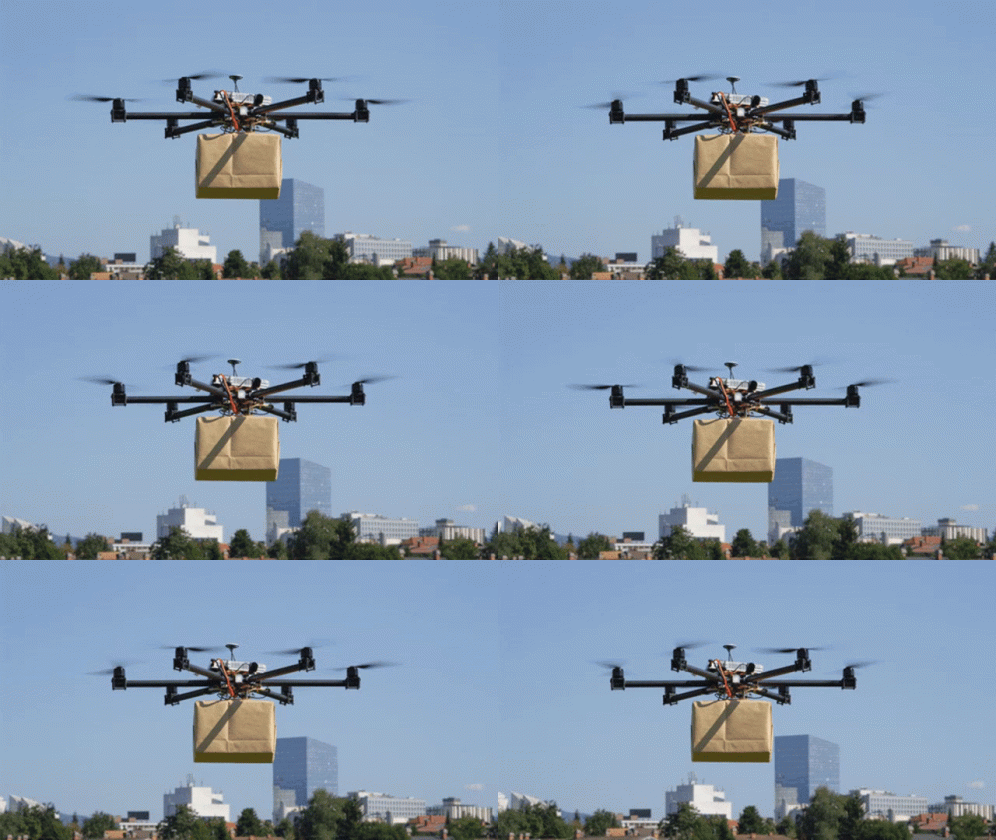
Drones transform delivery services, offering rapid and effective solutions. Whether it’s delivering last-mile packages, transporting emergency medical supplies, or facilitating food delivery, drones optimize operations and swiftly access even the most remote areas.
Advantages:
- Speed: Drones deliver faster by navigating traffic and avoiding obstacles.
- Cost-Effectiveness: Drone delivery reduces costs for fuel, maintenance, and labor.


